Ermine Street
Roman Britain, with Ermine Street highlighted.* While the northerly route between Lincoln and York was the shortest, this was not always passable during bad weather, so an alternative route was established which linked York (Eboracum), Castleford (Lagecium), Doncaster (Danum ), Littleborough (Agelocum), and Lincoln (Lindum).
*Map of Roman Britain from Atlas of European History, Earle W. Dowe, London, (G Bell & Sons, 1910).
.
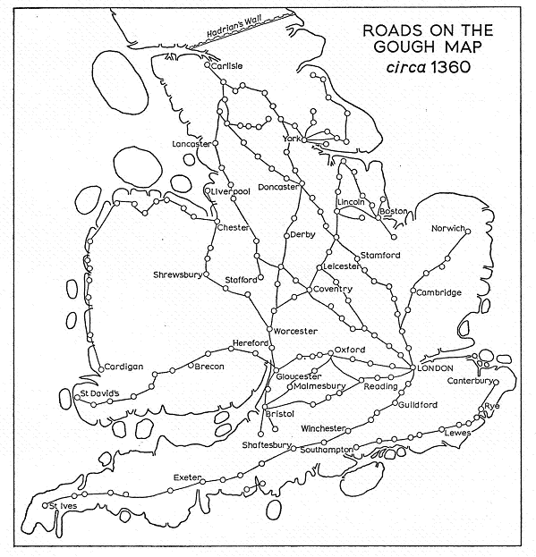
This map shows the development of the road system in the fourteenth century.*
*A New Historical Geography of England, H. C. Darby, 1973, p.175.

|

